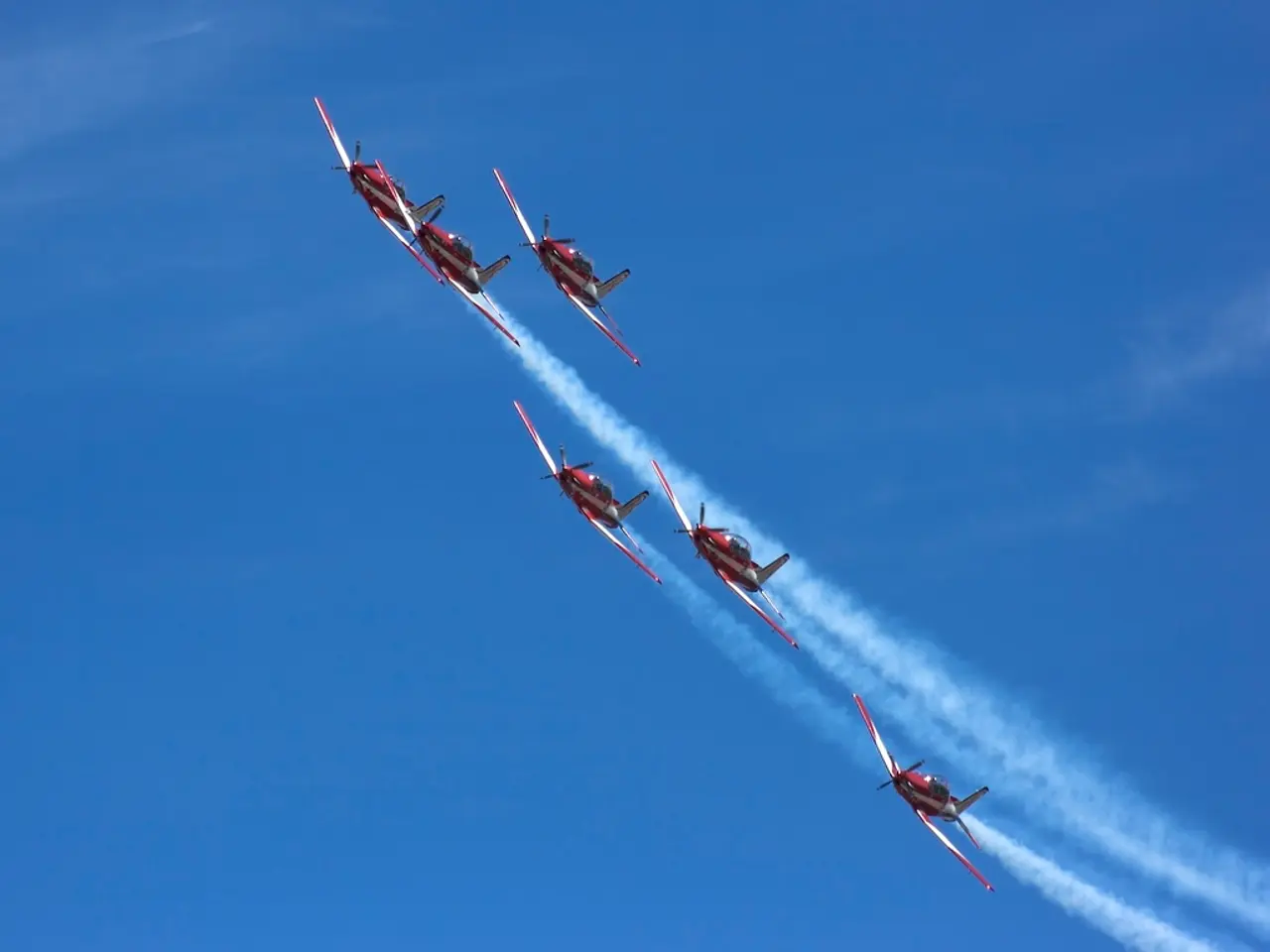
Drones controlled by AI navigate through smoke clouds from wildfires, gathering detailed 3D data for scientific studies
In a groundbreaking development, researchers have combined robotics and environmental science to create cost-effective tools for improved data collection during wildfires. This innovative approach, spearheaded by a team including scientists from the University of Sydney and the University of New South Wales, is revolutionising the way we track and understand wildfire plumes.
The heart of this new system are compact aerial robots, designed to detect, track, and map smoke plumes in real time. These robots collect data from multiple angles, building 3D reconstructions of plumes that provide invaluable insights into the behaviour of smoke particles.
The current system builds on previous work with coordinated multi-drone tracking, allowing for more accurate and comprehensive data collection. This advancement will significantly improve predictive models that guide response efforts during fires, enabling more effective and timely interventions.
The robots' real-time tracking capabilities also produce flow pattern analyses, offering a detailed understanding of how smoke particles move and disperse. This is crucial information, as it can affect air quality far from the original fire, potentially impacting a wide area.
The team has also developed a method that combines artificial intelligence with coordinated drone swarms, further enhancing the system's accuracy and efficiency. This approach supports particle characterization using Digital Inline Holography, providing even more detailed data about the smoke particles themselves.
In addition to wildfire plume tracking, this technology could be applied to monitoring other airborne hazards such as sandstorms and volcanic eruptions. The researchers are also exploring the use of fixed-wing VTOL drones for wide-area surveillance, thanks to their extended endurance.
This isn't the first time the group has delved into the world of autonomous drones. Previously, they created autonomous drones with computer vision to follow smoke plumes, paving the way for this current, more advanced system.
It's worth noting that smaller smoke particles can travel longer distances and remain suspended for extended periods. This means that even fires far away can have a significant impact on air quality, making precise and timely tracking of wildfire plumes all the more crucial.
In conclusion, the use of aerial robots to track wildfire plumes with precision is a game-changer in the field of environmental science. This innovative approach not only improves our understanding of wildfire behaviour but also provides critical data for improving simulations and informing hazard response, ultimately leading to a safer and healthier environment for all.
Read also:
- Peptide YY (PYY): Exploring its Role in Appetite Suppression, Intestinal Health, and Cognitive Links
- Toddler Health: Rotavirus Signs, Origins, and Potential Complications
- Digestive issues and heart discomfort: Root causes and associated health conditions
- House Infernos: Deadly Hazards Surpassing the Flames


