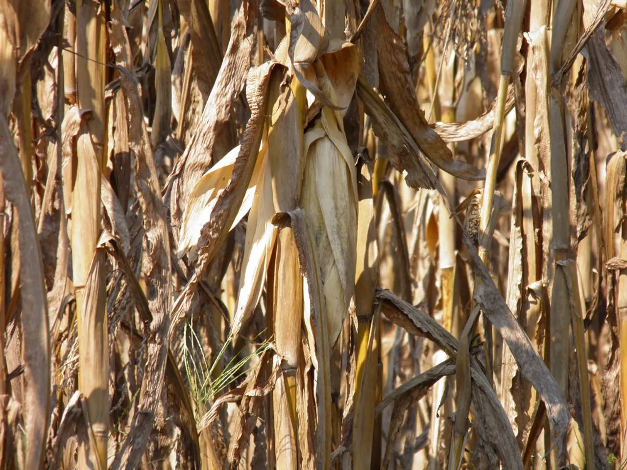
Crop species findings from the combined 2025 project initiative
The Ministry of Food, Rural Areas and Consumer Protection (MLR) has made the first results from the evaluation of satellite data for the crop types specified in the Joint Application available in the Area Information and Online Application System (FIONA). These results, based on the application geometries as of 15 May 2025, can be viewed from this year in a table located in the navigation area under "Findings".
If the application data could not be confirmed by the satellite evaluation, this will be displayed to the applicants in FIONA in the "Findings" table. Affected applicants have been informed via their mailbox by the lower agricultural authorities. Photo evidence orders have been created for certain partial steps and need to be processed in the external app "profil (bw)".
All application geometries changed after 15 May will be re-evaluated in a later satellite data evaluation and the result will be made available again in FIONA. The Federal Office for Agriculture and Food (Bundesanstalt für Landwirtschaft und Ernährung, BLE) is responsible for creating further results from the analysis of satellite data to verify arable land type names within the Joint Application in the FIONA system.
The "Findings" table can be accessed in FIONA via the navigation tree, and by double-clicking on the corresponding part-field, adjustments to the part-field geometry can be made. If the usage code given in the application can be corrected in FIONA, as a different crop was actually grown on the partial step, no response is required.
The use code and other application details for the part-field will be changed in the FIONA area directory after adjustments to the part-field geometry are made. The area monitoring system, called AMS, is used in all area measures of the Joint Application involving EU funds and checks whether the application data matches the actual cultivation of the part-field. The system checks whether the use code or the cultivation indicated in FIONA in the application matches the actual cultivation of the part-field and whether the respective cultivation requirements have been met on the part-field.
Applicants have until 30 September to make corrections to the area details or application geometries based on the results. Unlike the results from the field monitoring, the application data cannot be changed after notification of a complaint from the on-site inspection. Complaints from the physical on-site inspection of areas will be displayed in FIONA in the coming weeks.
Detailed information about the area monitoring system can be found in the "Guidelines for Area Monitoring" leaflet on the FIONA homepage. The ministry's press office and citizen's representative can be contacted via their respective email addresses or contact form for any queries or concerns. The MLR has provided an information sheet "Guidance on processing errors and notes in FIONA until September 30, 2025".
Further results from satellite data analysis regarding agricultural activity compliance, minimum activity on areas taken out of production, planting date compliance for eco-regulation OR1a and FAKT II measure E13.2 will be displayed in FIONA. Other errors and notes for the application can be viewed in FIONA under "Check & Error Log".
For instructions on how to use the "profil (bw)" app, please refer to the information service. Instructions are readily available to guide you through the process.
Read also:
- Peptide YY (PYY): Exploring its Role in Appetite Suppression, Intestinal Health, and Cognitive Links
- Toddler Health: Rotavirus Signs, Origins, and Potential Complications
- Digestive issues and heart discomfort: Root causes and associated health conditions
- House Infernos: Deadly Hazards Surpassing the Flames


